Mapping Software and GIS Glossary
GEOINT, or Geospatial Intelligence, is any knowledge gained from analysis of geographic imagery and geospatial data. This analysis is frequently done using GIS software such as Maptitude; it utilizes many types of source data ranging from spreadsheets to satellite imagery.
Originally, the phrase Geospatial Intelligence was only used by the US government, primarily for describing how geography affected human activity. It has since become a more widely used expression, especially in the corporate world. Many countries today hold GEOINT conferences, and many companies and organizations will use GEOINT acquired from a GIS software to fuel large-scale decision making.
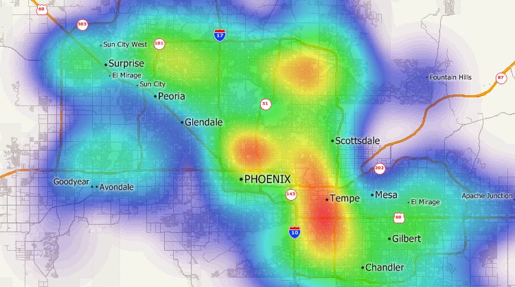
Patterns in geospatial data can be identified using GIS software to provide you with geospatial intelligence (GEOINT)
Maptitude Mapping Software gives you all the tools you need to transform spreadsheets and other types of data into Geospatial Intelligence, helping you get the knowledge you need to make informed decisions.
Learn More Free Trial Free for Students/Teachers
![]()
![]()
![]()
![]()
![]()
![]()
![]()
![]()
Home | Products | Contact | Secure Store
