Mapping Software and GIS Glossary
Vector data is a geographic data type where data is stored as a collection of points, lines, or polygons along with attribute data. Individual points recorded as coordinate pairs, which represent a physical position in the world, make up vector data at its most basic level.
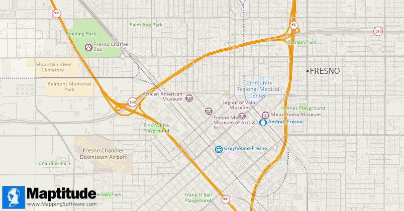
A Maptitude map that comprises vector layers of points (cities and point landmarks), lines (streets and railroads), and areas (building footprints and area landmarks)
Maptitude Mapping Software gives you all of the tools, map layers, and data you need to analyze and understand how geography affects you and your business. Maptitude also supports vector data of many sorts including its native CDF compact data format, Esri Shapefiles, MapPoint PTM files, Oracle Spatial, MapInfo TAB, OpenStreetMap, and many more.
Learn More Free Trial Free for Students/Teachers
![]()
![]()
![]()
![]()
![]()
![]()
![]()
![]()
Home | Products | Contact | Secure Store
