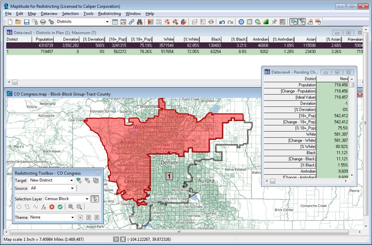
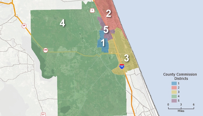
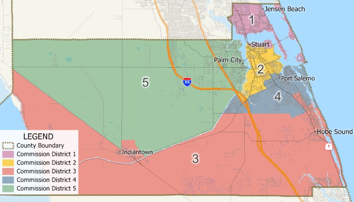
Commissioner Districts are typically required to be redrawn after the decennial census to have equal numbers of people. Maptitude for Redistricting allows you to quickly and accurately determine the most balanced Commissioner District boundaries, giving each commissioner a nearly equal number of citizens to represent. There are statutory requirements for county commissioner redistricting, and Maptitude for Redistricting has tools to help you equalize both area and population, and to measure how compact your districts are.

Redrawing commissioner districts with Maptitude Commissioner District boundary software
A web-based version, Maptitude Online Redistricting, is suitable for individual citizens and legislators who wish to propose boundaries for their district or even an entire plan. There is also a version that runs as an extension to ArcGIS if you prefer working in that GIS environment.
Maptitude for Redistricting is the ultimate in redistricting software. It is used by a majority of the state legislatures, redistricting commissions, political parties, and public interest groups. A web-based version, Maptitude Online Redistricting, is suitable for individual citizens and legislators who wish to propose boundaries for their district or even an entire plan.

|
“It's light years ahead. The software can do so much more, so much more quickly.” Karl Aro |

County commission redistricting

Maptitude commissioner redistricting software
Maptitude is the perfect solution for adding additional GIS users where Esri software is already in use. Maptitude:
To learn more about the county commission redistricting features in Maptitude for Redistricting, please see the Features page or contact Caliper Sales at sales@caliper.com or by phone at 617-527-4700.
|
Learn more Maptitude for Redistricting |
Case Study Glynn County, Georgia |