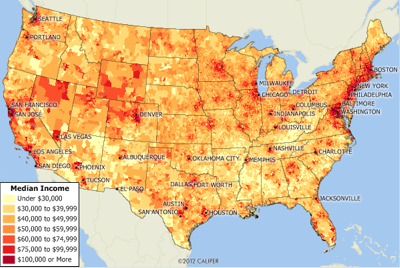
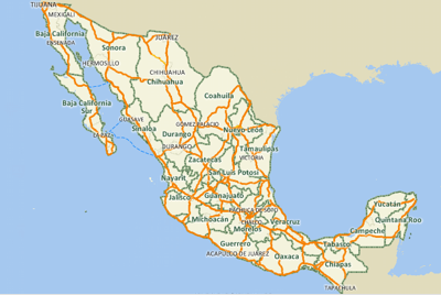
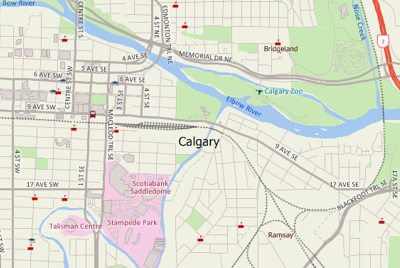
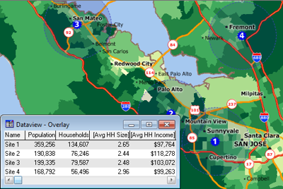
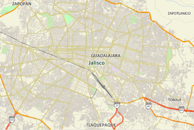
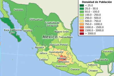
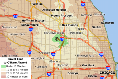
Maptitude Geographic Information System (GIS) software provides everything you need to realize the benefits of desktop mapping and spatial analysis with a single, easy-to-use package. When you purchase Maptitude you get a FREE Country Package that includes a detailed street layer with addresses for pin-mapping (geocoding) and travel time information for computing routes and drive-time rings. Also included are building footprints for many urban locations, railroads, and comprehensive named landmarks that range from public facilities to commercial buildings including shops, restaurants, and retail stores. Postal data and detailed demographics (where available) are shipped with the product. Additional Country Packages can be purchased separately.
The following North American Country Packages are currently available for Maptitude:
![]()
![]()
![]()
Maptitude also supports dozens of geographic file formats, table formats, and raster image formats.
For more information on Maptitude please visit the Maptitude Overview Page or email a request for a live demo now. For more information on the available North American data sets, please use the Country Package links above.
Home | Products | Contact | Secure Store