Mapping Software and GIS Glossary
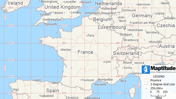
Map of Europe with 2-degree longitude and latitude grid lines.
Maptitude Mapping Software gives you all of the tools, maps, and data you need to analyze and understand how geography affects you and your business. Maptitude includes tools for locating your data using latitude and logitude coordinates, address, postal code, and more.
Learn More Free Trial Free for Students/Teachers
![]()
![]()
![]()
![]()
![]()
![]()
![]()
![]()
Home | Products | Contact | Secure Store
