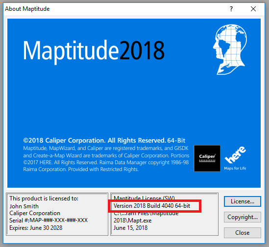
As we improve the Maptitude software, new “builds” of the software are released with incremental improvements. You can see which build of the software you are using by going to Help>About… from the main toolbar.
Below are the release notes for the different builds of Maptitude 2018:
| Build # | Ship Date | Release Notes |
| 4000 | 2/8/2018 | Initial Release |
| 4005 | 2/20/2018 | Improved handling of Excel sheets with very wide fields |
| Style improvements to US General Purpose Map | ||
| Show more accurate scale with 3D theme | ||
| Added checks to ID field during Update Linked Records | ||
| Better handling of KML/KMZ imports | ||
| 4010 | 2/28/2018 | Duplicate IDs detected in the Create a Map Wizard |
| Added functionality to Update Linked Records | ||
| Added Drive Time rings label options | ||
| Added extra datum conversions for Australia | ||
| Improved saving of prism maps to image files | ||
| Remember route stop name edits | ||
| Make map saving more robust | ||
| Improved data handling from Excel in the Map Wizard | ||
| Added helpful notes when using Update Linked Records | ||
| Improved Linked Records with long SQL queries | ||
| Improved speed of Create a Map Wizard reading Excel files | ||
| 4015 | 3/19/2018 | Further improved data handling from Excel in the Map Wizard |
| Improved speed of Create a Map Wizard reading Excel files | ||
| Added more notes when using Update Linked Records | ||
| Added more options for Theme fields in the Create a Map Wizard | ||
| Improved geocoding when using Update Linked Records | ||
| Allow repeat stops in routing manager | ||
| Improved map size/location in buffers report | ||
| Improved drive time report format | ||
| More accurate running totals in route directions report | ||
| Improved overlay report | ||
| 4020 | 3/21/2018 | Launch routing manager is an option when opening MapPoint files |
| Improved reports | ||
| Handle Update Linked Records with coordinates | ||
| 4025 | 4/4/2018 | Implemented checks when opening workspaces with missing files |
| Improved prism maps legend formats | ||
| Better formatting in buffer reports with many columns | ||
| Changed “No Data Found” message | ||
| Implemented Straight Line Distance Tables/Matrices | ||
| 4030 | 4/23/2018 | Improved databases for Territory layers |
| Better handling of missing sheets in Update Linked Records | ||
| Added overnight routing | ||
| Fixed territory assignment error message | ||
| Style improvements to default map depending on geocoding method | ||
| Update/delete not-found sets when updating linked records. | ||
| Improved Access handling in Update Linked Records | ||
| Add ability to restrict Distance/Travel Time tables to N Closest/Fastest | ||
| Improved video recording | ||
| Fixed stop index in RoutingAPI results | ||
| 4035 | 6/11/2018 | Improved python examples |
| Implemented Angle Tool in main toolbox | ||
| Update Linked Records now does all point layers | ||
| Display ZIP code correctly in error message | ||
| Distance and Travel Time tables give a message when no points selected | ||
| Removed an errant Export to ArcMap warning. | ||
| Improved Territory handling with large number of unassigned features | ||
| Fixed KML parser that would hang on some files. | ||
| RoutingAPI was failing in the presence of duplicate stops | ||
| Changed balloon help for Territory Manager button | ||
| Correctly detect “return to origin” in routing API | ||
| 4040 | 6/29/2018 | Fixed RoutingAPI bug with duplicate coordinates |
| Auto-project the British Isles straight, not slanted | ||
| Fixed RoutingApi return index with duplicate labels | ||
| Fixed exception from some python scripts | ||
| 4045 | 10/10/2018 | Don’t use black as the color for Prism Maps with null values |
| Updated terms of Service for Google Imagery | ||
| Make GPS tracking icon configurable | ||
| Significant Geocoding Improvements for the DACH region | ||
| Improved silent install procedure |