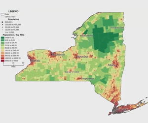
How do I choose a map background?
How to choose and appropriately style background images for use in your maps
Maptitude Learning Portal articles tagged with Image
How to choose and appropriately style background images for use in your maps
How to register an image to be placed on a map.
Maptitude makes it easy to save a map into a PDF format. Simply, choose File>Export>PDF and your default PDF printer driver is used to create a PDF that is automatically oriented portrait or landscape.
You can use the Map>Imagery>USGS Topographic Maps command to add a topographic relief map to the background of your maps.
Adding outlines to your points in a Maptitude map
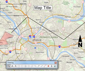
An introduction to using the tools on the Drawing toolbar for embellishing a map and performing basic analysis
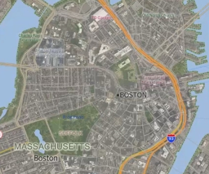
How to add images to a map and access online image resources