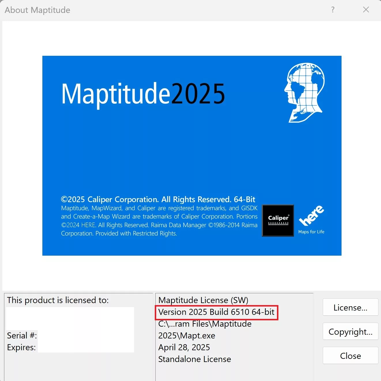
As we improve the Maptitude software, new “builds” of the software are released with incremental improvements. You can see which build of the software you are using by going to Help>About… from the main toolbar.
For details on what has changed in the latest version, see the new features page and the Maptitude 2025 PDF.
If you have Maptitude 2025, you can get the latest version of Maptitude 2025 by going to Help>Check for Updates and clicking on the link.
Below are the release notes for the different builds of Maptitude:
| Build # | Ship Date | Release Notes |
| 6560 | 4/1/2026 | Added the ability to export to .tab and tab-separated files |
| Improved behavior of the update linked records tool | ||
| Edits to non-English interface translations | ||
| Various improvements to the territory tool and tracking fields | ||
| 6555 | 12/18/2025 | Various improvements and fixes to the Multiple Vehicle Routing tool |
| The standard routing tool now allows sorting routes by name, simplifying management of multiple routes | ||
| 6550 | 11/19/2025 | Improved speed and behavior of updating linked territory records |
| Fixed various errors with adding tracking fields to territories | ||
| Improved behavior of the undo button when using the territory manager | ||
| 6545 | 9/30/2025 | Improved licensing behavior in restricted server environments |
| Optimized the routing tool interface for various different screen resolutions | ||
| Added an option to automatically check for differences if a territory layer has not been opened in a long time | ||
| Improved handling of routing duplicate stops | ||
| Fixed a routing issue in the Europe region | ||
| Added a warning when attempting to export a table to .xlsx larger than what Excel supports | ||
| 6540 | 9/5/2025 | Added handling for invalid unicode characters when exporting to .geojson |
| Improved handling of workspaces with a large number of display settings | ||
| 6535 | 8/18/2025 | Drive-time rings have no upper limit and can be built to any size |
| Improved behavior when activating a license offline | ||
| Improved handling of KML file imports | ||
| Non-geocoded points are now completely skipped when routing | ||
| The Multi-routing tool now allows a fixed final stop to be specified | ||
| Improved handling of routes where multiple stops have the exact same location | ||
| Added a Cancel button to the Territory progress bar to cancel changes mid-assignment | ||
| 6530 | 7/21/2025 | Routing using a web service now displays the optimization method for each service provider |
| Improved handling of blank addresses when geocoding | ||
| 6525 | 7/8/2025 | More detailed and specific error messages when activating a license for improved clarity |
| Routing tools can now exclude ferries and other subgroups when creating routes, allowing custom restrictions for allowable roads | ||
| Faster processing speeds for various routing tools | ||
| Opacity settings are now included when copying themes | ||
| 6520 | 5/21/2025 | Added the ability to use virtual raster image server files |
| Postcodes have been standardized for the Europe region data package | ||
| Temporary sets are no longer saved in a map/workspace | ||
| Added a “Clear” button in the routing toolbox | ||
| 6515 | 5/7/2025 | Increased speed when handling certain large geographic files |
| 6510 | 5/1/2025 | Territory contiguity checks can now accommodate for islands and be treated as contiguous |
| Routing tools will no longer offer to use empty layers | ||
| Updated image libraries to avoid conflicts with ArcGIS | ||
| Distance and travel time report calculations now show to two decimal places, e.g. 12.34 | ||
| Various fixes to the Multiple Vehicle Routing tool | ||
| Drive-time rings can now be renamed when calculating overlays or using a routing API | ||
| Faster territory creation and editing for large or complicated territories | ||
| Various improvements to the Europe region geocoding | ||
| Improved tool tips when using the Territory Manager | ||
| 6505 | 4/16/2025 | Initial Release |