Last Updated: April 19, 2024
The Geocoding Precision field is a new column that is added to your data when locating your data with Maptitude mapping software. The new field indicates how each record was located during the geocoding process and provides information about the method used to determine the location of the record, such as address, postal code, or city. The Geocoding Precision field helps you understand the accuracy and reliability of the geocoded data.
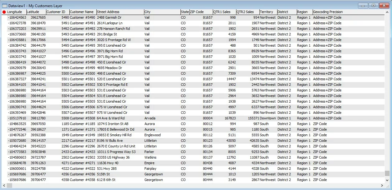
The methods listed in the Geocoding Precision field may vary based on the country package you are using. Some of the methods that may be listed include:
- Address and ZIP Code
- Address and City
- ZIP Code
- City
These are just a few examples, and the specific methods available will depend on the country package you are using.