How to use the Maptitude Territory Wizard to create a territory layer that can be used to interactively create territories from smaller areas such as postal codes, counties, or states. 3:16 minutes
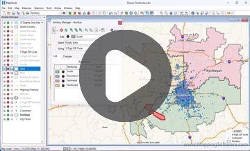
Tutorial: Modifying Territories with the Territory Manager
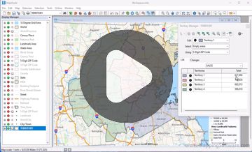
Tutorial: Creating Territories from Tables
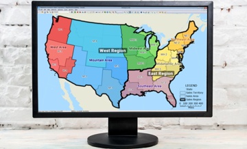
Maptitude Sales Territory Mapping Software
Home | Products | Contact | Secure Store
Copyright © Caliper Corporation