




Author:
Stewart Berry
Images: Dan Martin
Updated 29 June 2026
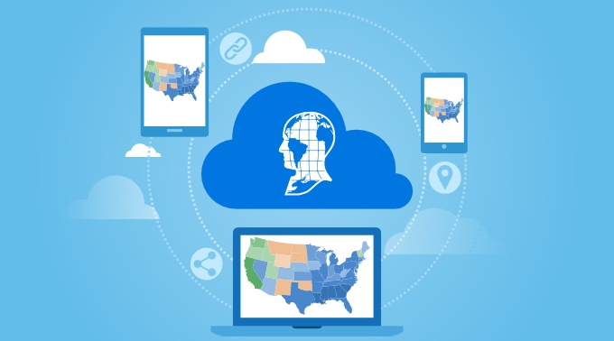
Maptitude Online is a standalone, web-based tool where all map creation and editing happen directly in your browser. Once a map is built, you can turn it into an interactive experience that anyone can open and explore. A shared map is not a flat image or a screenshot. It is a live map your audience can pan, zoom, and click to read the data behind every location.
This page explains how to present, share, and publish your maps, and why an interactive map communicates more than a static one.
In this article:
What an interactive map experience is
Ways to share and publish a map
A static map shows one fixed view. An interactive Maptitude Online map invites the viewer to take part. From any computer, tablet, or phone, with nothing to install, a viewer can:
Pan and zoom to any area of interest
Click a location to see its full data record
Read the legend and turn layers on or off
View the underlying data table alongside the map
Because the experience runs in a web browser, your audience needs no software and no training to use it.
When a map is ready, you decide who can see it:
Publish a public link that anyone can open, with no account or login required
Share privately with named people or with everyone in your organization
Embed the map in a website, blog, or online report using a single line of iframe code
You control access at any time, so sensitive work stays private and public work reaches a wide audience. If you also use desktop Maptitude, you can publish those maps here in a few clicks as well.
For the full list of sharing and security options, see the Maptitude Online features page.
You can set how a shared map first appears, including the starting zoom level, the visible layers, and the legend. The map then opens the same way for every viewer, so a presentation lands as planned. Shared maps can also carry your own logo and branding, which makes them ready for client-facing work and public websites.
A shared link stays valid when you update the map. Viewers always see the current version without needing a new URL, so a published map can stay live and accurate over time.
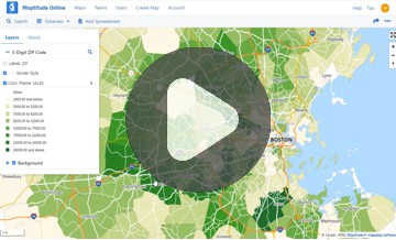
Income by Neighborhood
Closest Major League Baseball Stadium by Drive Time
Each map above is a working example. Pan, zoom, and click to see how an audience would explore your own data.
Interactive maps make complex information easier to understand and act on. When people can explore the data themselves, they stay engaged and reach better decisions. Teams use shared maps to:
Replace static slides and screenshots in presentations and reports
Give stakeholders direct access to current geographic information
Publish public-facing tools that customers or constituents can use on their own
No. A public Maptitude Online map opens in any modern web browser with no account, login, or software installation. Maps can also be shared privately when access should be limited to specific people or to your organization.
Yes. Every map can be embedded with a single line of iframe code, so it appears directly inside a website, blog, or online report and stays fully interactive for the reader.
Yes. Shared maps are fully interactive on any device with a modern browser, including iOS and Android, with no app to download.
Start a Free 30-Day Trial Schedule a Free Personalized Demo
Learn what Maptitude Online is and how your team can map, share, and present data in the browser.
Also use desktop Maptitude? Read how to publish a desktop map online or watch the video.

 Check out our G2 Reviews
Third-party trademarks are used for identification and descriptive purposes and do not imply affiliation or endorsement. See Third-Party Trademarks.
Home | Products | Contact | Secure Store
 Call Us

