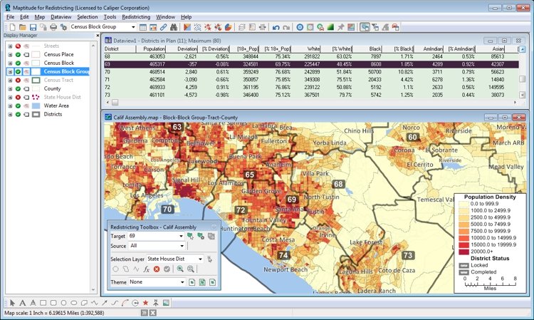
Maptitude for Redistricting is the professional tool for political redistricting. It is used by a supermajority of the state legislatures, political parties, and public interest groups. Designed with the help of redistricting professionals, state legislatures, and political parties, Maptitude for Redistricting has the features redistricters want and is easy to learn and use. Use Maptitude for Redistricting as a replacement for Citygate GIS™ for:

Maptitude for Redistricting replacement for Citygate GIS
“Over the ensuing years, Maptitude became the industry standard. It’s used by the national committees of the both the Democratic and Republican party, government organizations in over half of the 50 states, city and state governments from California to New Hampshire, as well has hundreds of educational institutions, nonprofit groups and corporations. It’s a powerful tool that brings in myriad data sets to show all the consequences of bunching homes into one group or another.”
Aaron Sankin, The Daily Dot