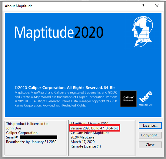
As we improve the Maptitude software, new “builds” of the software are released with incremental improvements. You can see which build of the software you are using by going to Help>About… from the main toolbar.
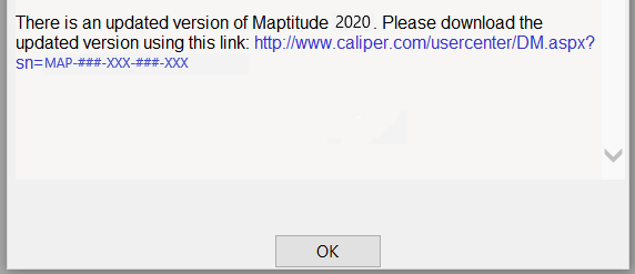
If you have Maptitude 2020, you can get the latest version of Maptitude 2020 by going to Help>Check for Updates and clicking on the link:
Below are the release notes for the different builds of Maptitude:
| Build # | Ship Date | Release Notes |
| 4700 | 3/5/2020 | Initial Release |
| 4705 | 3/10/2020 | Routing Manager allows 24hr routing without nightime break |
| Cleaned up the Selection Sets that are created when geocoding | ||
| Standardized terminology when doing Image Geotagging | ||
| Cleared up labeling of times in the Routing Manager | ||
| Prioritized using HERE Street network for routing when present | ||
| Improved handling of bad inputs in the Balanced Territories Add-in | ||
| 4710 | 3/17/2020 | Improved handling when the processing limit is hit using Drive Time Influence Areas |
| Improved geocoding at the World City/Country level | ||
| Improved finding of cities with “St” in their names | ||
| Added Box Plot as a chart option | ||
| Improved geocoding in Germany to recognize more city names | ||
| Image Geotagging defaults to using the Working Layer | ||
| Added clearer error messages to the Balanced Territories Add-in | ||
| Added clearer error message when attempting to make a Box Plot of a single record | ||
| Enabled relevant menu items when creating a Box Plot | ||
| Clustering add-in defaults to “Route” if street layer exists | ||
| Prevented creation of an unnecessary table during Facility Location | ||
| Standardized terminology when discussing Box Plot feature | ||
| Usability improvements to the Vehicle Routing Add-in | ||
| 4715 | 5/14/2020 | Linked Records feature now allows for linking to the County layer using separate County and State fields |
| Improved geocoding when using Canadian postal points | ||
| Improved handling of alternate layers for routing tools | ||
| Improved handling when when using the Layer Clipper tool on restricted layers | ||
| Improved display for very small drive-time rings | ||
| Enabled longer field names | ||
| Facility location enabled when facilities are a mix of points and areas | ||
| Added an option to take an Overnight Break when planning multi-day route | ||
| Faster drive-time influence areas | ||
| Simplified handling of cumulative and separate buffers | ||
| Numeric fields with empty values now exported to Excel as numeric fields | ||
| Improved Australia geocoding | ||
| Improved handling of .geojson imports | ||
| Fixed an issue when geocoding the same Excel sheet twice in the same map | ||
| 4720 | 6/8/2020 | Improved handling of ZIP points in the Territory Wizard |
| Added a warning if an inaccessible label is clicked repeatedly | ||
| Fixed an issue where overlay reports would be blank | ||
| Automatically closes a temporary dataview when geocoding | ||
| Fixed progress bar for Distance & Travel Time Tables | ||
| Single point buffers can be non-cumulative | ||
| 4725 | 7/31/2020 | Improved handling of alternate street layers when using Locate by Address |
| Calculation of dot density themes maintains theme settings | ||
| Fixed stop display in the vehicle routing tool | ||
| Shapefile (.shp) line layers can be exported to a .cdf file | ||
| Added Full Stack bar chart type | ||
| Improved display with higher resolution screens | ||
| Improved handling of default stops with the Routing API | ||
| Excel exports only include visible fields | ||
| Improved routing when using one-way streets | ||
| Workspaces with missing shapefiles can still be opened | ||
| 4730 | 9/10/2020 | Improved stop order when routing using one-way streets |
| Added an option to start and stop at the same location using the routing API | ||
| The Facility location tool now accepts weights of zero | ||
| Improved importing of shapefiles | ||
| 4735 | 9/17/2020 | Various routing improvements |
| 4740/4745 | 9/29/2020 | Maptitude Maps can now be shared online through our SaaS |
| Improved route optimization | ||
| 4750/4755 | 10/15/2020 | Improved linked records handling |
| 4760 | 10/26/2020 | Various SaaS changes and improvements |
| 4765 | 11/19/2020 | Improved geocoding using non-english locations |
| Fixed issue where no route could be found when finding shortest paths | ||
| More SaaS changes and improvements |