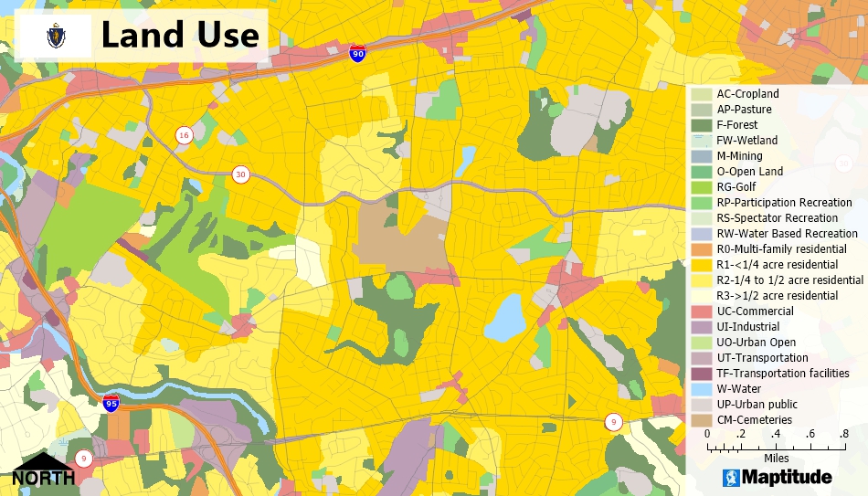
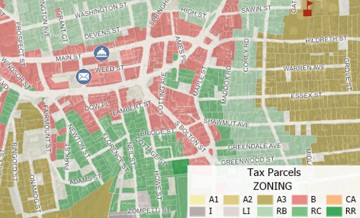
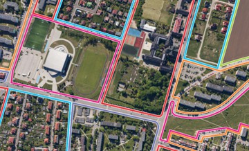
Maptitude is the most cost-effective GIS software available, making it affordable for any level of government to produce and update the maps they need. Maptitude makes it easy for city planners, zoning officials, tax assessors, and other government officials to create the maps necessary to both formulate plans and convey information to the public in an easy to understand format.
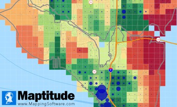
In addition, because Maptitude supports numerous geographic and image file formats, it makes it possible for officials to access and display data from numerous sources.
Home | Products | Contact | Secure Store
