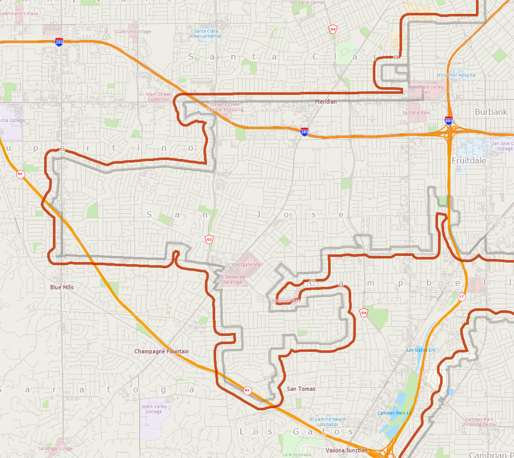
Urban Growth Boundaries (UGB) are an important boundary layer used in urban planning. Many communities use these to show urban development areas. These layers can often be downloaded from city, county, or other regional government open data repositories. These types of geographic boundaries can be displayed in Maptitude along with all the other data included with the Country Package you choose.
Follow these steps to download an example UGB for San Jose, California. The steps would be similar for any area you are working with:
- Begin by downloading the UGB for San Jose. The KML or Shapefile option will work: https://data.sanjoseca.gov/dataset/urban-growth-boundary1
- Download the zipped archive to your computer and extract (unzip) the files to your computer.
- Open a Maptitude map of “San Jose, CA”.
- Choose File > Open, change the file type to either “Shapefile” or “KML” and find the file you just downloaded.
- You can choose to Import or just open the file. For additional details, see: https://www.caliper.com/learning/media/using-other-geographic-file-formats-in-maptitude/