Finding Shortest Paths and Routes with Maptitude
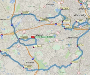
Using the Maptitude Routing & Directions Manager to find and optimize routes
Using the Maptitude Routing & Directions Manager to find and optimize routes
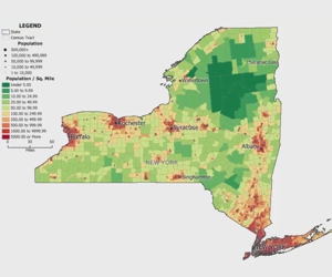
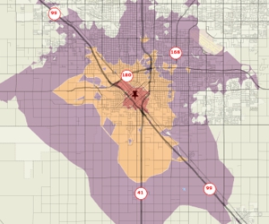
Using a density grid based on features in a point layer
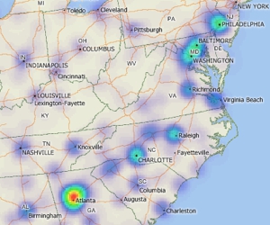
Using Maptitude to create rings based on the time it takes to travel over a street network from one or more origins
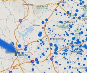
Creating a point file that is linked to your data and updating it when the source data change
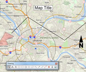
An introduction to using the tools on the Drawing toolbar for embellishing a map and performing basic analysis
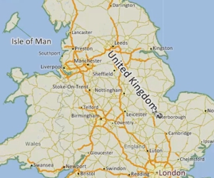
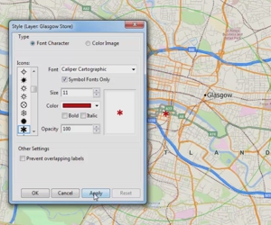
Modifying layer, feature display, and individual labels in a map