You can map your country’s data using global mapping software.
You can try these methods below by requesting a free trial of Maptitude mapping software or using your own license.
Table of Contents
- Country Package Data
- Imagery Layers
- Locate Using Third Party Web Services
- Download Free Layers Add-In
Country Package Data
There are many country packages of different areas of the world for use in Maptitude mapping software, please see Maptitude map data page.
Maptitude also comes with a global map that includes world data including:
- World Population Data
- World Province Boundaries
- Populated places, towns, and cities
- Country boundaries
Imagery Layers
Additionally, you are able to add background imagery layers that are available worldwide by going to Map>Imagery and selecting the provider you would like to use.
For more information on imagery layers, please see the video tutorial on Maptitude Imagery Layers.
Locate Using Third Party Web Services
You can setup third party web services for locating your country’s data by going to Tools>Web Services Licenses.
Then, open the table of data you are trying to locate by going to File>Open.
Finally, you can geocode or locate your data using the third party web service by going to Tools>Locate>Locate by Web Service.
Download Free Layers Add-In
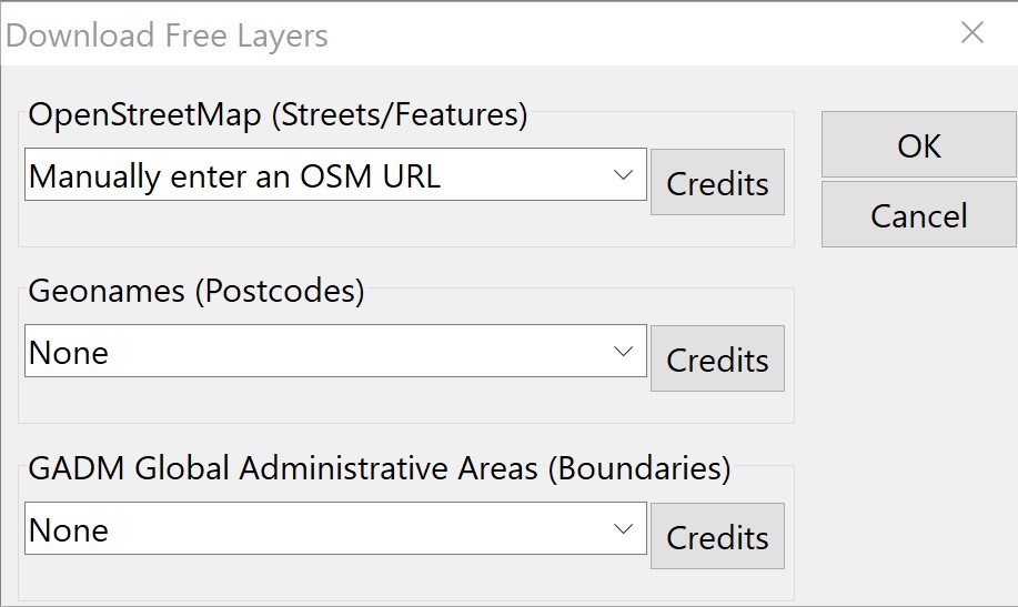
However, if there is no country package available for your country, we offer a free Maptitude add-in that lets you download free layers from the web and use them in the software.
To download and open the tool, follow the steps detailed at the Global Geocoding Add-In and Download Free Layers Add-In for Maptitude page.
If you want to Manually enter an OSM URL for street data, select the “OpenStreetMap” drop down and scroll to the bottom to select “Manually enter an OSM URL”. Click OK to download the layers.

If you are interested in using Maptitude Online to map your international data, please see the article on mapping internationally with Maptitude Online.
You can also create worldwide territories, please see the Maptitude tutorial article on creating worldwide territories.