Last Updated: April 24, 2024
You can find the PLSS or TXSS sections, townships, and ranges for your locations using Public Land Survey System GIS data.
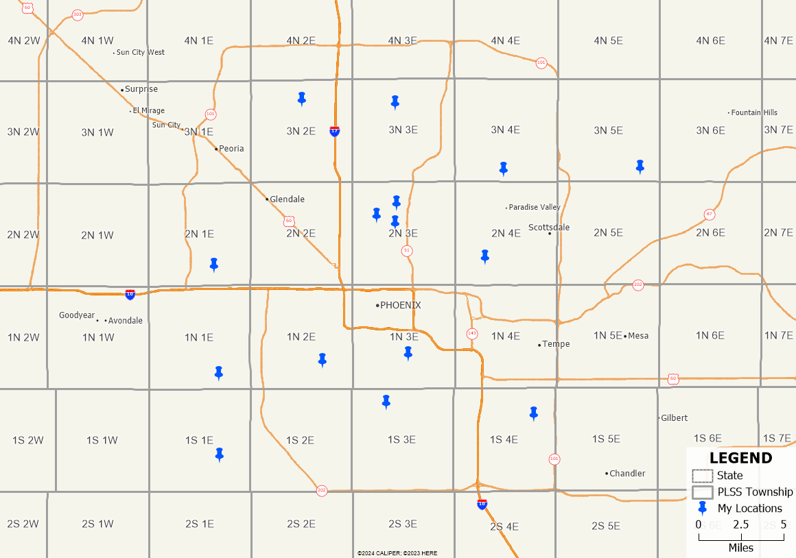
With Maptitude mapping software, you are able to add PLSS and TXSS data to your maps and locate your addresses to find the PLSS or TXSS section that they belong to.
To try this out for yourself, you can download a free trial of Maptitude mapping software or use your existing Maptitude license.
You can find the PLSS (or TXSS) Sections, Townships, and Ranges for your locations using GIS software.
- Follow the steps in the video tutorial on mapping your own data in Maptitude to locate your addresses on a map.
- Download and install the free PLSS and TXSS data.
- Add the PLSS or TXSS layer(s) to your map by going to Map>Layers>Add Layer.
By default, these files are available in “C:\ccdata\” - Make your locations layer the working layer.
- Go to Tools>Analysis>Tag Points by Area.
- To get the township and range, choose the PLSS Township layer for the Source Data layer and the Label field in the Tag with drop down.
- To get the section, choose the PLSS First Division layer for the Source Data layer and the Label field in the Tag with drop down.
- To get the aliquot part or lot, choose the PLSS Second Division layer for the Source Data layer and the Label field in the Tag with drop down.
- Click OK and Maptitude will add a column to your table with the new information that you’ve chosen.
For more information on the free data add-ons available with Maptitude, please see the article on how to use the free data downloads in Maptitude.