Last Updated: March 5, 2025
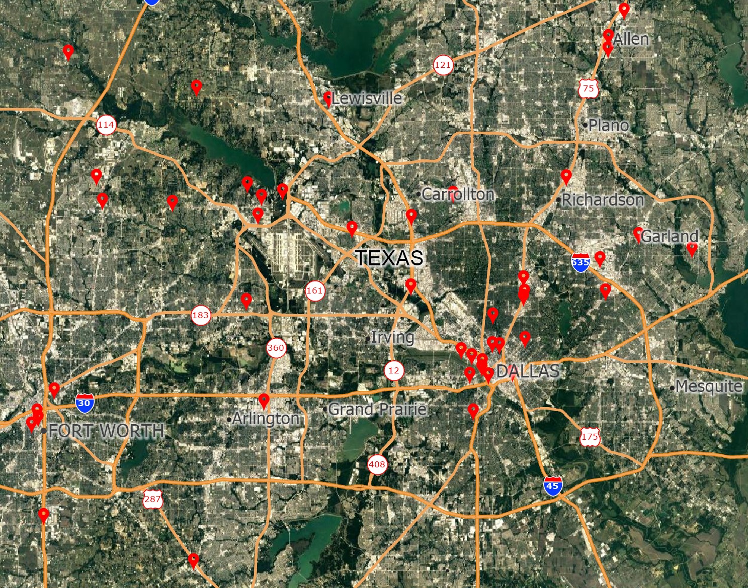
You can use mapping software to convert your Excel file into a format that Google Maps can read.
How to Create a Google Map with Excel Data
Analysts often want to be able to see their Excel sheets on a Google Map or to share their data via Google Maps or Google Earth. Maptitude has tools that make it easy to export mapping results to the Google Maps file formats. Maptitude supports both the import and export of KML and KMZ file types. This allows you to also map data that others have created.
1. Download a free mapping software trial of Maptitude or use your existing Maptitude license.
2. Locate your data in Maptitude. You can do this by following the steps here in the Maptitude tutorial video on locating Excel data.
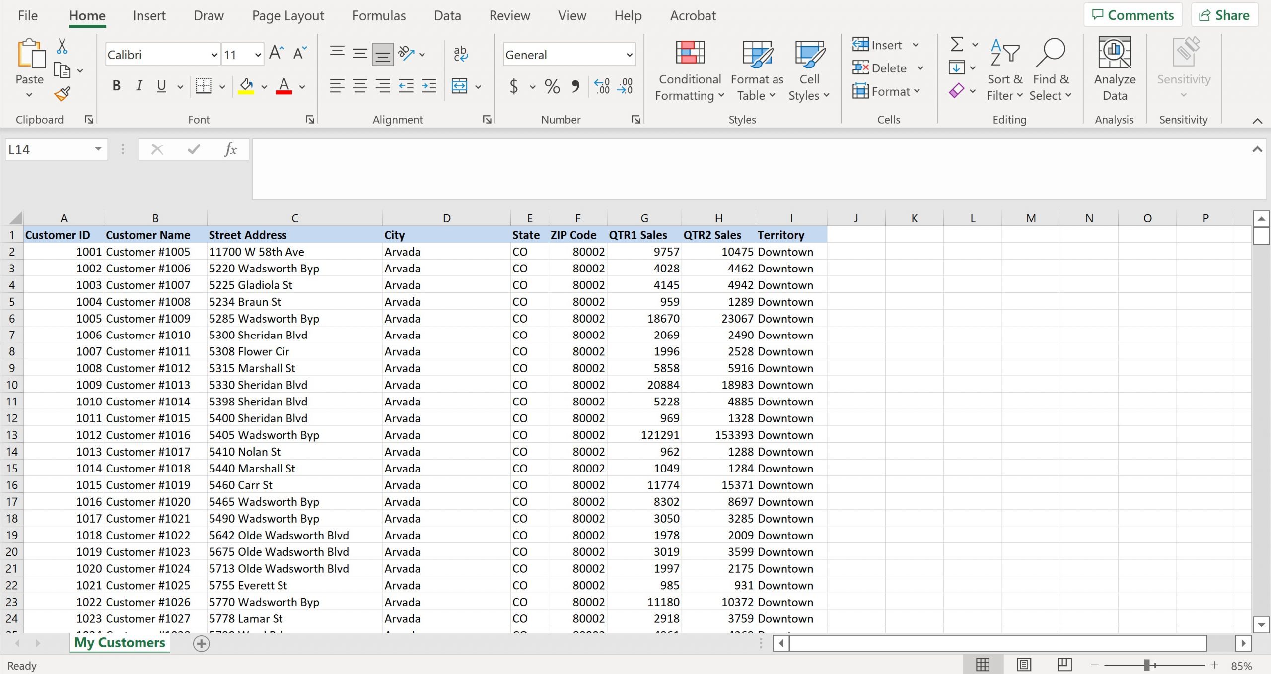
3. Make sure your new layer is the working layer.
4. Export to Google My Maps using File>Export>Geography, making sure to choose either “KML (Google Earth Document)” or “KMZ (Google Earth Compressed Document)” and click OK.
Alternatively, you can turn on Google Maps backgrounds as image layers and use those. For more on those tools, please see: https://www.caliper.com/learning/media/using-aerial-and-satellite-imagery-in-a-maptitude-map/
To learn more about using other formats in Maptitude, please see: https://www.caliper.com/learning/media/using-other-geographic-file-formats-in-maptitude/
For an easier way to map and share your Excel data, Maptitude Online allows you to do all of this from your web browser: https://www.caliper.com/maptitude/online-mapping-software-web-mapping-online-gis.htm
For more information on mapping data from Excel, please see the Maptitude tutorial video on creating maps from Excel data.
For more information on mapping sales territories using Excel data, please see this video tutorial on mapping sales territories in Maptitude.